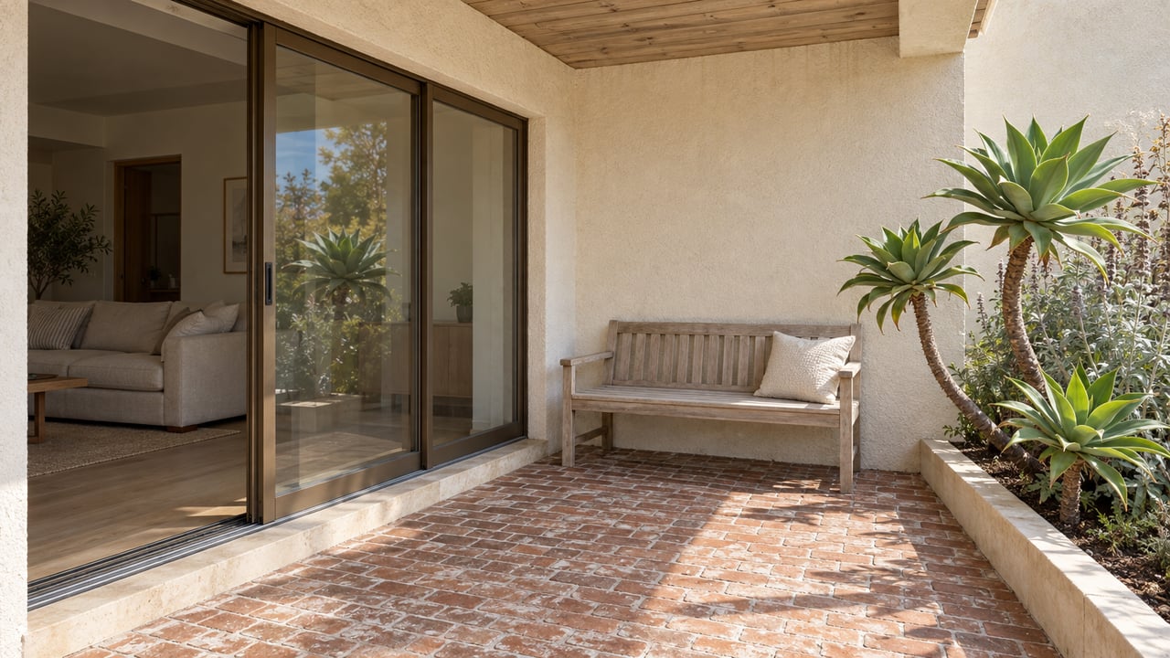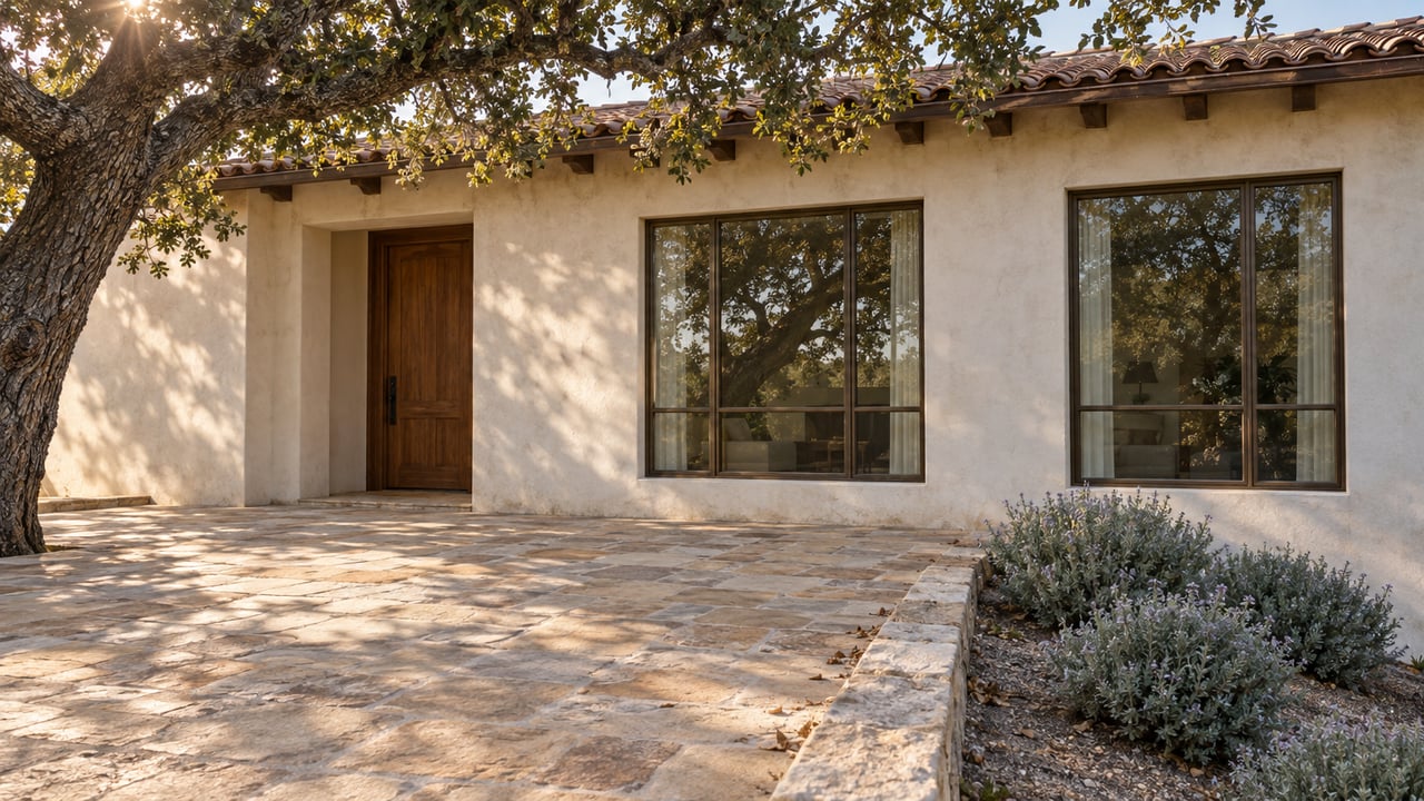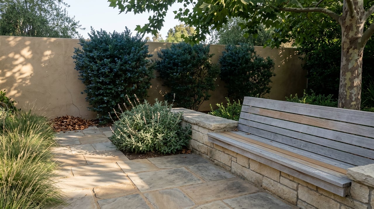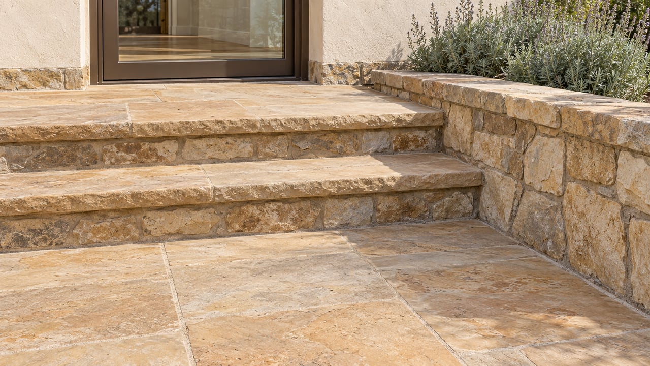
"The stone we've acquired is from the same quarry as the stone that's been used on the front of the mission," Mónica Orozco, executive director of Old Mission Santa Barbara, told Noozhawk in October 2025, as crews cut into the church steps. "That will help it match the façade we have now. Hopefully it should blend right in."
By April 2026 it did. The new ramp on the right side of the church is finished and blessed. It is also the newest piece of a stone story that starts in the bed of Mission Creek and runs about a mile uphill. Most of that story was built from material that sat within reach of the canyon. The newest part was built to look as if it had always been there. A walk from the church steps to the Botanic Garden covers all of it. This month the Santa Barbara Museum of Natural History, along the same route, is spending a week on the geology underneath.
The first change in two centuries was meant to go unseen
The Santa Barbara News-Press called the ramp the first notable change to the Mission's appearance since the church was built. Earlier repairs and reconstruction, including the work after the 1925 earthquake, aimed to put the building back the way it was. This project adds something new. The church in question is the Mission's fourth, finished in 1820, and the Mission's own tour describes it as having "walls of solid sandstone."
The idea took a long time to get built. Father Joe Schwab said a ramp was first discussed in the 1980s and then shelved until someone "resurrected" it a few years ago. Before the ramp, the accessible way into the church existed but covered far more ground. Orozco called it "a very long, kind of roundabout way to get there," and "quite an ordeal" for people using walkers or wheelchairs.
The design brief was restraint. Frank Schipper Construction Co. was the contractor. Architect Fred L. Sweeney, AIA emeritus, said the project would succeed if the ramp disappeared into the background of the façade. The plan also included resurfacing the front landing. Construction began in fall 2025. Crews worked weekdays and paused noisy work during weekday Mass so that services went on as usual.
The community paid for it. In October 2025 about $700,000 had been raised toward the goal, and by the April ribbon cutting the Mission had reached its full $1.1 million through community donations.
Thinking of a ramp in terms of geology may seem odd. But matching the stone was what made a modern addition acceptable on the city's best-known historic façade.
What "the same quarry" tells you, and where the record stops
The public record goes only so far. The Mission says the ramp stone came from the same quarry as the stone on the church front. No published account names that quarry, says where it is, or names a supplier.
The historical record is broader. Writing in the Santa Barbara Independent, historian Michael Redmon explains that early Santa Barbara had little usable lumber, because the oaks' twisted trunks made poor boards. Builders turned to adobe and to sandstone, which was "readily at hand in the creek beds and canyons." Under the padres, Chumash laborers cut stone from the Mission Creek area. They used it for the Mission itself and for its water system, including an aqueduct network and the dam that still stands on Mission Creek.
The geology is a third layer, and it should stay separate from the first two. An Oregon State University thesis on the area identifies the bedrock of Mission Canyon as the Coldwater Formation. It describes the rock as hard, thick-bedded arkosic sandstone with minor siltstone, and it draws on Tom Dibblee's 1966 mapping for that description. No source we reviewed says the Mission's building stone, or the new ramp's stone, is Coldwater. The canyon's rock and the church's walls may be related, but nobody has published that link.
Following the stone uphill
Read in the order it was built, the route from the church steps to the Botanic Garden runs backward through the neighborhood's history of stonework. Read from the bottom up, it is an easy morning walk.
- The ramp, Old Mission Santa Barbara. Start on the right side of the church. Look for the point where the ramp wall meets the original façade. That seam is what the architect and contractor spent the project trying to hide.
- Joseph Dover's wall, Puesta del Sol Road. Redmon writes that a walk along Puesta del Sol Road in Mission Canyon passes the sawtooth wall Dover built in the 1890s, which Dover considered his finest work. Dover was the son of an English seaman, and Redmon counts him among the most important stonemasons of British descent in the "golden age" of local stone masonry, which began in the 1870s.
- Dover's bridge over Mission Creek. Redmon also credits Dover with the stone bridge over Mission Creek.
- The Mission Dam and Aqueduct, Santa Barbara Botanic Garden. The Garden lists the dam and aqueduct among its features. They were built between 1806 and 1807 to supply the Mission with water. They are among the works Redmon describes as cut by Chumash laborers from Mission Creek–area stone.
Our source for Dover's wall and bridge is a 2017 article. Check their current condition yourself rather than assuming it.
| Stop | Built | Builders | What it shows |
|---|---|---|---|
| Mission Dam and Aqueduct | 1806–1807 | Chumash laborers under the padres | Stone from the Mission Creek area cut for the Mission's water supply |
| Mission church, fourth building | Finished 1820 | Chumash laborers under the padres | "Walls of solid sandstone" |
| Dover's sawtooth wall, Puesta del Sol Road | 1890s | Joseph Dover | British-style masonry from the "golden age" |
| Dover's bridge over Mission Creek | Date not given in our source | Joseph Dover | Another example of Dover's stonework |
| Mission ADA ramp | Fall 2025 to April 2026 | Frank Schipper Construction Co.; architect Fred L. Sweeney | Stone from the same quarry as the church front, laid to match it |
If you leave the paved route for the frontcountry canyon trails, the Museum of Natural History says you will often see Coldwater Formation boulders that contain fossil bivalves. That is the bedrock up close, and it is a separate thing from the cut and squared stone in the walls downhill.
The museum that keeps the map of this canyon
The Museum of Natural History is the reference library for this story. The U.S. Geological Survey credits Thomas W. Dibblee Jr. with the first comprehensive, detailed geologic maps of the Santa Barbara coastal plain, published in 1966. The Dibblee Geological Foundation later published maps of the Santa Barbara quadrangle. The Museum is now home to the Dibblee Geologic Maps. It houses and curates Dibblee's personal effects, including original map prints, and its Dibblee Geology Center sells all 419 Foundation maps through the Museum Store.
National Earth Science Week begins next Sunday, October 11, 2026, with a birthday celebration for Dibblee. Every program runs from 2:00 to 4:00 p.m. and is included with Museum admission. Admission is free for members.
| Date | Program | What happens |
|---|---|---|
| Sun., Oct. 11 | Happy Birthday, Tom Dibblee | Color your own geologic map of Santa Barbara, help assemble a geologic map puzzle, add a card or photo to the tribute board |
| Mon., Oct. 12 | Mineral Day | Local mineral clubs show their collections; meet Dibblee Curator of Earth Science Jonathan Hoffman, Ph.D. |
| Tue., Oct. 13 | Earth Observation Day | Hands-on astronomy activities about studying the planet from space |
| Wed., Oct. 14 | National Fossil Day | Fossil Preparator Ben Rotenberg, M.A., and Curatorial Assistant Liz Flint, J.D., work on specimens from Channel Islands National Park |
| Thu., Oct. 15 | Geoscience for Everyone Day | Hands-on activities across fossils, astronomy, rocks and minerals |
| Fri., Oct. 16 | Geologic Map Day | Geologic and topographic maps, with another round of map coloring and the puzzle |
The Sunday and Friday sessions tie most directly to the walk. Coloring Dibblee's map of Santa Barbara shows the rock under the canyon you walked up that morning, in the form the man who mapped it drew it.
Two more reasons to come back up the hill
The Museum's fall calendar continues after Earth Science Week. On Saturday, October 17, Dinorama returns. It is the Museum's exhibit of miniature dioramas showing dinosaurs and changing ecosystems of the Mesozoic Era. A week earlier, on October 9, Selby's Circles: Art & Nature in Romantic Britain opens in the John and Peggy Maximus Gallery and runs through January 4, 2027. The Museum calls it the first museum exhibition ever devoted to Prideaux John Selby. Beginning in 1819, Selby spent 15 years producing hundreds of large hand-colored etchings of British birds at life size, and his work influenced naturalists including Charles Darwin.
Back downhill, the Mission lists its annual Sip & Stroll Holiday Market for December 4, 2026, with local wine, beer, food and handmade goods from area artists. It is the Mission's first holiday market since the new ramp opened on the right side of the church.
Stone that has been part of a home for a century carries value that a listing photo rarely shows. Telling it apart from a good modern match takes someone who knows where to look. If you own a home with historic stonework in or near Mission Canyon and want to know what that history adds, Sharon Jordano offers a quiet, informed conversation. Request a Private Home Valuation.